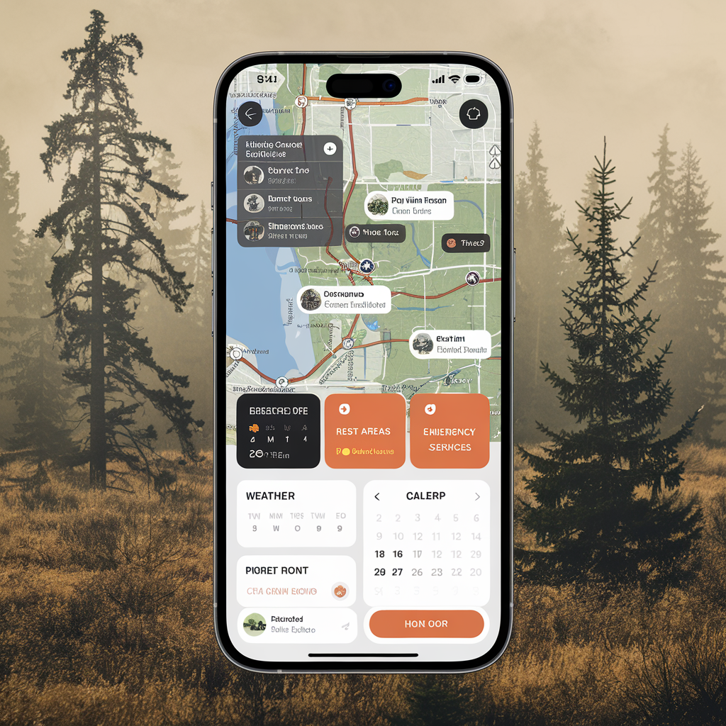
Exploring the Best Hunting Apps for Tracking and Planning

Modern technology has revolutionized the hunting experience, introducing tools that make tracking, scouting, and planning easier than ever before. Hunting apps have stepped up over the years, offering features that help you stay on top of land boundaries, weather conditions, and animal movements, all while ensuring ethical hunting practices. Whether you’re a seasoned hunter or just getting started, finding the right app can make a significant difference in your success.
Why Use Hunting Apps?
Hunting apps provide resources previously limited to physical maps, guidebooks, or in-field experience. Many integrate GPS with public and private land maps, helping you ensure you’re hunting in designated zones. Apps can also help you plan hunts based on optimal weather conditions, moon phases, and animal behavior patterns.
Key reasons to use these apps include:
- Navigating terrain effectively using GPS and offline map downloads
- Monitoring weather forecasts, wind directions, and barometric pressure
- Tracking animal activity and migration routes
- Recording hunt data, including routes and successful harvests
- Staying compliant with local hunting regulations by accessing land boundary information
Top Hunting Apps for Tracking and Planning
There are numerous hunting apps on the market. Below, we take a closer look at some of the best options to help you plan and succeed on your next hunt.
1. onX Hunt
onX Hunt is a widely recognized app in the hunting community. With detailed public and private land ownership layers, it ensures hunters stay within legal boundaries. The app works offline, allowing you to save maps for remote areas with limited service. Waypoint markers, hiking trail overlays, and weather integration make it a comprehensive tool for the field.
Notable Features:
- Land ownership maps updated regularly
- Offline GPS capabilities
- Customizable waypoints and tracking tools
- Interactive 3D mapping
Try onX Hunt if public and private land boundaries or offline maps are a priority for your hunts.
2. HuntStand
HuntStand combines detailed mapping with social features, making it ideal for group hunts. You can map hunting areas, analyze wind conditions, and even log harvests. The app’s ability to share maps and plans with friends simplifies coordinating large outings.
Notable Features:
- Weather and solunar forecasts
- Property boundary details
- Stand and trail camera integration
- Community sharing of hunting maps
If you appreciate tools for both individual use and group coordination, HuntStand may be the right choice.
3. BaseMap
BaseMap offers a feature-rich experience for hunters who want access to high-quality map layers and additional outdoor activities. The app stands out for its color-coded land ownership maps and depth shading for water bodies. It also provides real-time animal tracking information in select regions.
Notable Features:
- Extensive map layers, including satellite and topographic options
- Live location sharing with hunting partners
- Offline map storage and dedicated offline mode
- Wildlife observation markers
BaseMap is a smart choice when clarity and map customization are top priorities.
4. Powderhook
Powderhook is ideal for beginners and hunters interested in connecting with the outdoor community. The app provides educational resources, legal hunting information, and access to public land opportunities. It focuses heavily on mentoring, connecting new hunters with experienced guides.
Notable Features:
- User-generated hunting pins and maps
- Guided mentorship opportunities for new hunters
- Local notifications on hunting events and regulations
- Access to public lands
Powderhook stands out for its community-building elements, making it perfect for those new to the sport.
Features to Consider Before Picking an App
Choosing the right hunting app depends on your unique needs and hunting habits. Here are some key factors to consider before downloading:
- Offline Accessibility: Ensure the app works without cellular coverage for remote hunting areas.
- Public and Private Land Data: Look for apps offering detailed land ownership maps to stay legal and ethical.
- Ease of Use: Apps with intuitive interfaces allow you to focus on the hunt, not troubleshooting.
- Cost: Many apps offer free base versions but charge for premium features like offline maps or additional map layers.
- Weather Integration: Real-time weather and solunar data can improve your chances of success.
Practical Example: Using a Hunting App for Deer Season
Imagine preparing for white-tailed deer season. You use onX Hunt to pinpoint public and private land boundaries near your favorite hunting area. During a scouting trip, you mark heavily trafficked deer trails with waypoints. BaseMap’s offline maps ensure you can navigate thick woods without cell service. Finally, you rely on HuntStand to assess wind conditions on the morning of the hunt, positioning yourself strategically. The combination of these apps simplifies your approach, giving you more time to focus on the experience.
Final Thoughts
The best hunting apps for tracking and planning cater to hunters of all skill levels, offering tools that enhance preparation, navigation, and success rates. Whether you need offline maps, weather updates, or landowner details, the right app makes all the difference. Explore these options to find one that fits your hunting style. Remember, success isn’t just about bagging game—it’s about respecting nature, staying safe, and enjoying the outdoors.
If hunting apps are a game-changer for you, continue exploring 2AGun.com for tips and tools that enhance your outdoor adventures. Let technology and tradition work hand in hand to create memorable hunting experiences.


